


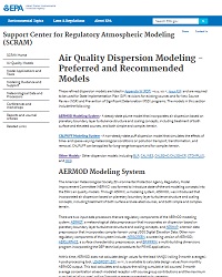
AERMOD Modeling System
Abstract
The AERMOD modeling system is a steady-state plume model that incorporates air dispersion based on planetary boundary layer turbulence structure and scaling concepts, including treatment of both surface and elevated sources, and both simple and complex terrain. There are two input data processors that are regulatory components of the AERMOD modeling system: AERMET, a meteorological data preprocessor that incorporates air dispersion based on planetary boundary layer turbulence structure and scaling concepts, and AERMAP, a terrain data preprocessor that incorporates complex terrain using U.S. Geological Survey Digital Elevation Data. Other non-regulatory components of this system include AERSCREEN, a screening version of AERMOD; AERSURFACE, a surface characteristics preprocessor; and BPIPPRIM, a multi-building dimensions program incorporating the Good Engineering Practice (GEP) technical procedures for Plume Rise Model Enhancements (PRIME) applications.